 |
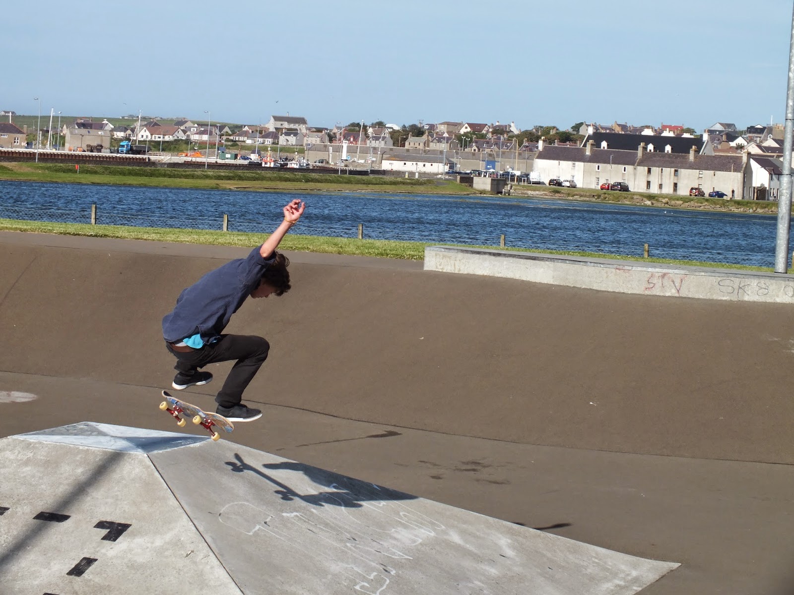
| Orkney Skate Park, Kirkwall |
Leaving Broch of Gurness we turn south on the main road toward Kirkwall to find a skateboarding park and a dinner location, hopefully one that serves local seafood. The roads here are very narrow. Many of the main roads are one lane with turn outs to allow cars to navigate past one another. Drivers must cooperate with one another here and I begin to wonder if the USA could benefit from less highway projects to add lanes and more opportunities for driver cooperation. (Not!) We are so accustomed to getting to point B from point A quickly. I've noticed that we are always on the go when in the car here albeit slowly and rarely do I see stop signs or red lights, we only yield when we go through a roundabout. Perhaps it is all the stop lights that frustrate American drivers and leads to so much road rage. I like the pace here but then again I am on vacation.
Kirkwall comes into view thankfully, Sam and I are tired. I realize that if I were driving the car I would be making mistakes by now because I am confusing which side of the road we are supposed to be driving on. We are looking for a skateboard park for Thomas that we know is in Kirkwall. When we find it near the Tesco, we park the car and Thomas gleefully speeds toward the park, Will following with the camera. Sam and I lay the seats back in the car and take a short cat nap. Thomas will be able to tell his friends he has skateboarded on Orkney and will even be able to post pictures on Facebook.

 |
| Orkney Skate Park, Kirkwall |
Rested, we find the Kirkwall Hotel with the restaurant on the harbor and order the usual hearty Scottish fare- steak pie with puff pastry and fresh salmon which I never tire of. The restaurant is very comfortable and well appointed and it feels nice to sit and relax after our windswept day. Suddenly, we realize it is the 4th of July but there has been no fanfare here to let us know what day it is. For a moment I miss home and all things USA, but only for a moment, we have had one of the most memorable days. We drink a toast to the good ole US of A.
 |
| Kirkwall Hotel, Orkney Island, Scotland http://www.kirkwallhotel.com/index.html |
Arriving back at our lodging at Houton Bay we have a wee bedtime dram of Scotch at the bar and meet one of the locals. Our hostess explains to us that his last name is "Grote" and he is said to be one of the descendants of the namesake "John O'Groat which is the northernmost town on the Scottish mainland. Land's End, the southern most tip of the UK, is at the other end and tourist pride themselves in visiting both while in the British Isles.
http://en.wikipedia.org/wiki/John_o'_Groats
We chat about this as well as our the other adventures of the day. Realizing we are leaving tomorrow, I am a bit sad. I don't want to be leaving just yet! Didn't I just get here? If I had more money and time I would travel slowly, grazing my way through the region taking my time to get to know some of the local folks, breathing deeply of the landscape and the culture. This is goodbye, for now, I will be back. We retire to our room to rest and pack, our ferry leaves at 11:00 tomorrow morning and we have a long drive ahead of us to Isle of Skye.
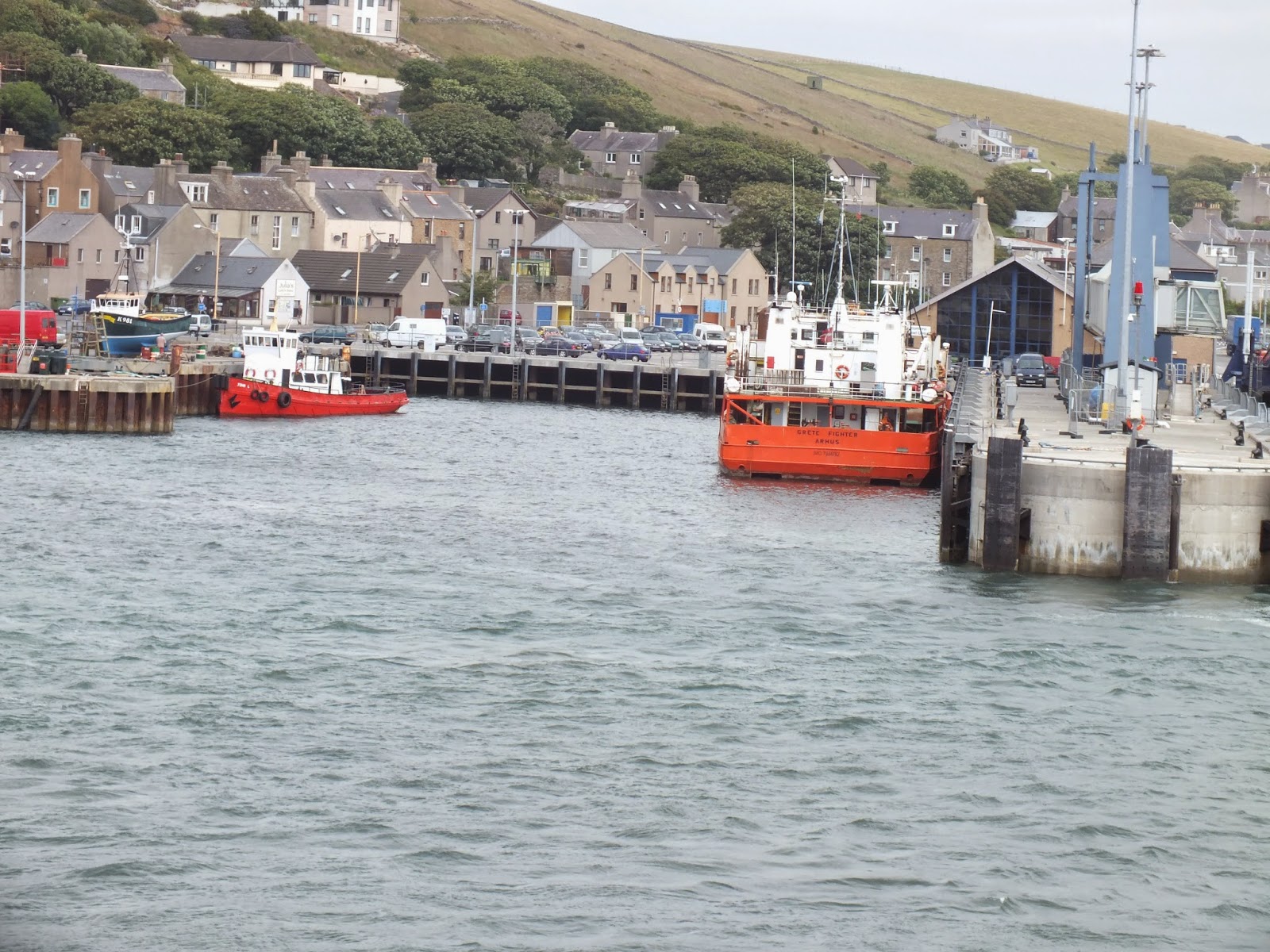 |
| Harbor Stromness, Orkney Island, Scotland |


